Technical Talk on “State-of-the-art techniques for observing Earth from Space” for Civil Engineering Students
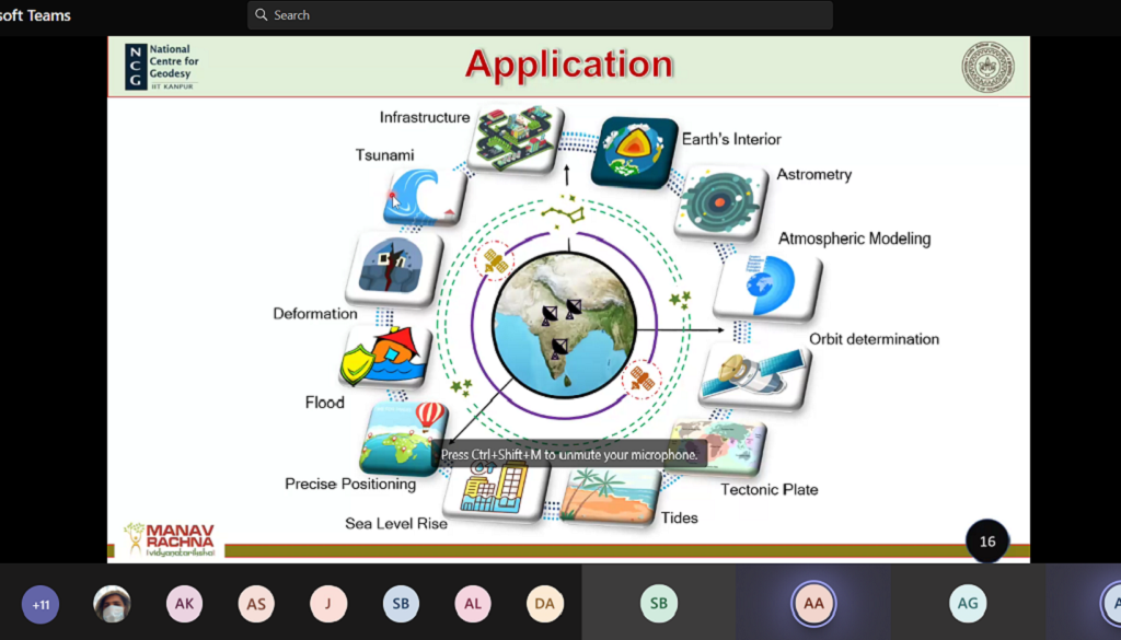
Department of Civil Engineering, Faculty of Engineering and Technology (FET), MRIIRS organised a Technical Talk on “State-of-the-art techniques for observing Earth from Space” recently. This session highlighted the latest techniques of Geodesy so that students have ideas about research and data available on different websites.
The speaker of the Expert Talk was Mr. Arnab Laha, is a Doctoral Student in the Department of Geoinformatics, Civil Engineering, Indian Institute of Technology (IIT), Kanpur. Mr. Laha started the talk by explaining the fundamental concepts of Geoinformatics, focusing on its origin from basic traditional techniques of Surveying/ Geodesy to Cartography, Global Navigation Satellite System, Photogrammetry, Remote Sensing, Laser Scanning and Global Positioning System (GPS). He shared his research work of usage of the Geoinformatics in “Forest Fire Risk Assessment and to Develop an Early Detection System for Sikkim” funded by Helvetas Swiss Intercooperation.
Mr. Laha explained the methodology involving the stage of Data Collection to Data Processing, followed by AHP (Analytical Hierarchy Process), which is divided into various levels depending upon the complexity of the research problem.
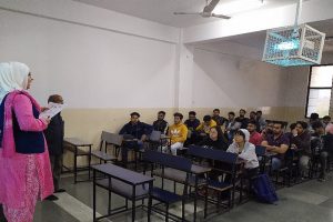
The total number of participants in the event was 26, including B.Tech Final Year students, PG Students and research scholars from IIT Kanpur.


