Expert Talk on “Geospatial Technologies for Disaster Monitoring and Creating Vulnerability Database”
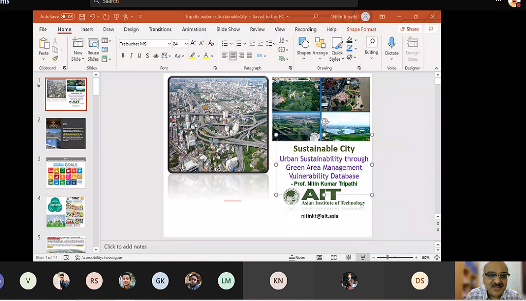
Department of Civil Engineering, FET, MRIIRS organized an Expert Talk on “Geospatial Technologies for Disaster Monitoring and Creating Vulnerability Database” on the occasion of “International Day for Disaster Reduction”.
The speaker of the Expert Talk was Prof. (Dr.) Nitin Kumar Tripathi. Prof. Tripathi is currently working as a Professor of Geoinformatics and Remote Sensing, School of Engineering and Technology, Asian Institute of Technology (AIT), Thailand. He is also serving as a Director of Special Degree Programs.
Prof. Tripathi started his talk by explaining the Three Pillars of Sustainability with SDG 2030 Goal 11: Sustainable Cities and Communities. He emphasized on urbanisation of Bangkok, which somehow decreased the life of the community. Prof. Tripathi focused on the various objectives required for disaster monitoring and creating vulnerability databases. He also shared his research experience on the usage of Geospatial Techniques in the detection of disaster at Bangkok, followed by the similar approach he adopted in Lucknow. He concluded the session by showcasing the importance of Remote Sensing and GIS Techniques for Future Land Use and Land Cover Scenarios, development of some policies to convert barren or unused land into green covers and the need for Ecological Sustainable Cities for better health of the society.
A total of 46 participants attended the talk including the students and faculty members from University of Technology and Applied Science (Oman), Mangalam College of Engineering (Kerala), Madhav Institute of Technology and Science (Gwalior), Gandhigram Rural Institute (Tamil Nadu) and MRIIRS. This event apprised everyone about GIS and Remote Sensing as a promising profession in Disaster Mitigation Process.


